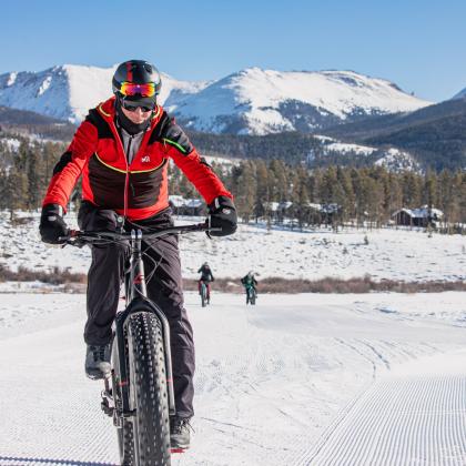
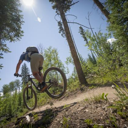
Granby Bike Path
Image

More Difficult | 7.0 miles | +1,004 ft
This mostly single track, figure-eight trail climbs moderately in its first half and then descends the enjoyable "Fraser to Granby" single track in its second. The downhill can be easily shuttled or skipped if you're parked at the "Village Road" trailhead.
LOCAL TIP: Use COTREX, a mobile and desktop application for a statewide comprehensive and interactive trail map, to find the perfect trails and stay up-to-date on any closures. Stop by the Winter Park Information Center in downtown Winter Park for hard-copy maps and additional information or details on road closures and trail work.
STARTING POINT:
- 0.0 miles- Park at “Fraser to Granby Bike Path” trailhead on “Village Rd” at top of the hill. Go south (towards ski area) on dirt road/ single-track bike path for 1.7 miles.
- 1.7 miles- Turn left on “Zermatt St.” continuing on the signed bike path for .1 miles.
- 1.8 miles- Turn right on “Innsbruck St.” continuing on the signed bike path for .2 miles.
- 2.0 miles- Turn right on “Grenoble St.” continuing on the bike path for slightly less than .1 miles.
- 2.0 miles- Turn left on “Yang” single track for .1 miles.
- 2.1 miles- Turn left on “Low Road” trail for .6 miles.
- 2.7 miles- Turn left on “Nature’s Way” single track for 1.1 miles and base village.
- 3.8 miles- Turn left on “Village Road” for 1.5 miles and starting point.
- 4.3 miles- Turn right for additional loop, down “Fraser to Granby” single track for 1.7 miles.
- 6.0 miles- Turn left on “10 Mile Dr.” for .1 miles.
- 6.1 miles- Turn left on “Village Road” and back uphill for .9 miles.
- 7.0 miles- Back at parking lot and end of the loop.